High-precision monitoring of critical infrastructure from space.
Terranetik combines satellite data and artificial intelligence to monitor critical infrastructure across large areas in real time with millimetre-level precision.
Built for the sectors that cannot afford surprises.
Wherever structural integrity translates into financial, legal or human risk, Terranetik turns satellite observation into a decision your team can act on.
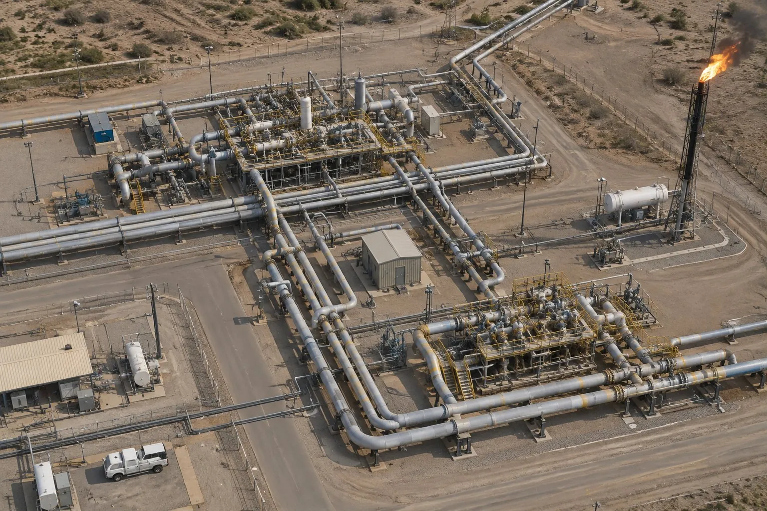
Ground movement and deformation data for power plants, substations, dams, pipelines and mining sites, so operators act before structural risk reaches critical thresholds.
- Pipelines
- Mining
- Dams
- KRITIS
Subsidence, settlement and deformation risk across bridges, highways, railways, tunnels and airports, without interrupting operations or requiring physical access.
- Bridges
- Highways
- Railways
- Airports
Early tilt and foundation-risk detection across tower and mast networks, helping operators schedule maintenance proactively and avoid unplanned outages.
- Tower monitoring
- Tilt detection
- Outage risk
- Maintenance
Objective structural-risk data for underwriters, mortgage lenders and investment managers: more accurate pricing, reduced claims exposure and safer lending decisions.
- Underwriting
- Claims prevention
- Mortgage risk
- Collateral
Risk-ranked structural data across public buildings, bridges and critical assets, so cities allocate maintenance budgets where they are needed most, with automated early warning.
- KRITIS
- Urban planning
- Public safety
- Early warning
Structural condition data for buying, selling, renting and investing: from pre-acquisition due diligence to portfolio monitoring and construction-phase settlement tracking.
- Due diligence
- Portfolios
- Construction
- Valuation
One monitoring engine. Three ways to use it.
Every product runs on the same satellite and AI pipeline. Choose the format that fits your portfolio — pricing is scoped to your needs. Contact us for a proposal.
HouseRadar · property intelligence for everyone
Homeowners, buyers and property professionals get an instant structural safety report for any building, single report or annual subscription, powered by the same Terranetik engine.
From satellite pass to a report your team can act on.
No black box. Radar satellites measure the ground, physics turns two passes into millimetres, and our patented AI explains what the movement means for each structure.
Every structure, revisited from orbit
European synthetic-aperture radar (SAR) plus very-high-resolution optical imagery. Radar sees through clouds and at night; revisit cycles of 24 hours to 12 days.
Two satellite passes become millimetres
Two radar passes are compared phase by phase. Tiny shifts in the returned signal reveal surface displacement down to a few millimetres.
From millimetres to decisions
Models fuse the movement with soil, fault, climate and building data to classify cause and severity, forecast the trend, and write plain-language alerts and reports.
Precision where it matters most.
Terranetik Orbital Intelligence is a German deep-tech company built on European space research. We combine synthetic-aperture radar, optical satellite data and artificial intelligence to monitor the structures communities rely on, continuously and at scale.
 Municipality
 Energy distribution
 Energy distribution
 Telecommunication
 Banking & finance
 Insurance
 Real estate
 Construction
See your own portfolio from space.
Tell us which assets you are responsible for. We will show what the archive already reveals about them and propose a pilot.
Terranetik Orbital Intelligence
Erika-Mann-Straße 23
80636 München, Germany
Enterprise clients can request a proof of concept on their own asset portfolio with no commitment. We handle the technical onboarding and deliver an impact report at the end.
Request a demo
Which assets should we look at?
Portfolio, region, number of assets or corridor length
